▲ 대전시청 현판 ©김정환 기자 |
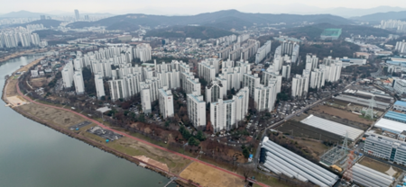
대전시는 GEO-AI 기술을 활용한 ‘2025년 항공사진 판독용역’을 완료하며, 개발제한구역과 도심 위법행위를 정밀 추적하는 체계를 구축했다.
국토지리정보원 항공·정사 영상을 분석해 지형 변동을 포착, 불법건축·공유재산 무단점유 등 총 312건에 행정조치를 내렸다.
지난해 8월 착수한 이 사업에서 1만114건 지형지물을 판독하고, 중구 유천동 3D 도시공간정보를 완성했다. ‘Clear Scan’ 시스템 도입으로 지하 매설물 불법 등 공유재산 점유 22건도 발굴, 시·구 협력 단속 성과를 냈다.
태양광 패널 설치 현황 등 신재생에너지 데이터도 확보해 정책 수립에 활용한다. 향후 개발제한구역·건축·공원 관리 강화와 도시계획·재난·디지털트윈 분야로 확대 적용할 예정이다.
대전시 관계자는 “AI와 항공사진 융합으로 과학적 도시 관리를 실현, 시민 안전과 쾌적 환경을 조성하겠다”고 밝혔다.
*아래는 위 기사를 '구글 번역'으로 번역한 영문 기사의 [전문]입니다. '구글번역'은 이해도를 높이기를 위해 노력하고 있습니다. 영문 번역에 오류가 있을 수 있음을 전제로 합니다.<*The following is [the full text] of the English article translated by 'Google Translate'. 'Google Translate' is working hard to improve understanding. It is assumed that there may be errors in the English translation.>
Daejeon City Detects 312 Cases of Illegal Activities Using AI Aerial Photography...
Daejeon City has completed the "2025 Aerial Photograph Interpretation Service" utilizing GEO-AI technology, establishing a system to precisely track illegal activities in restricted development areas and urban areas.
By analyzing aerial and orthophoto images from the National Geographic Information Institute (NGII), the city identified topographical changes and issued administrative measures in 312 cases, including illegal construction and unauthorized occupation of public property.
Launched in August of last year, the project identified 10,114 topographical features and completed 3D urban spatial data for Yucheon-dong, Jung-gu. The introduction of the "Clear Scan" system also uncovered 22 cases of illegal underground installations and other occupations of public property, resulting in cooperative crackdowns between the city and district offices.
Data on new and renewable energy sources, such as solar panel installations, will also be collected and utilized in policymaking. Going forward, the system plans to strengthen management of development restriction zones, architecture, and parks, and expand its application to urban planning, disaster relief, and digital twins.
A Daejeon City official stated, "By integrating AI and aerial photography, we will achieve scientific urban management and foster citizen safety and a pleasant environment."
원본 기사 보기:브레이크뉴스대전세종충청