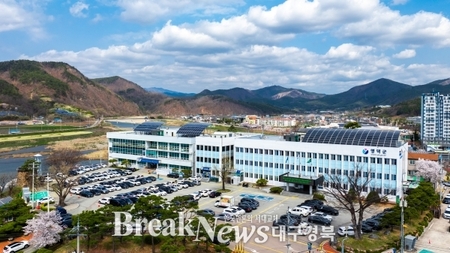
▲ 대구 북구청 전경 ©대구 북구 |
【브레이크뉴스 대구】진예솔 기자=대구 북구청이 산격7지구 지적재조사사업과 관련해 오는 14일 오후 3시 산격4동 행정복지센터 2층 회의실에서 주민설명회를 연다.
이번 설명회에서는 사업의 주요 내용과 추진 절차를 안내할 예정이다.
지적재조사사업은 지적도에 표시된 토지 경계와 실제 현황이 일치하지 않는 지역을 대상으로 경계와 면적을 바로잡고, 기존 종이 지적을 디지털로 전환하는 국책사업이다. 이는 토지 경계 분쟁을 줄이고 행정의 정확성을 높이기 위한 취지다.
사업 대상지는 산격동 1117-1번지 일원, 즉 대구시청 산격청사 북측 인근 110필지(1만1,387㎡)다. 산격7지구는 2026년 신규 지적재조사사업 지구로 선정돼 실시계획을 이미 수립했으며, 설명회를 기점으로 사업이 본격적으로 추진될 전망이다.
설명회에서는 사업 추진 배경과 절차, 토지 경계 기준, 면적 증감에 따른 조정금 산정 방식 등이 소개된다. 주민 질의응답 시간도 마련해, 다양한 의견을 수렴할 계획이다. 북구청 측은 “토지 소유자와 이해관계인의 참여가 필수적이어서 설명회가 중요한 절차”라고 설명했다.
북구청은 2012년 검단지구를 시작으로 산격5지구까지 총 13개 지구의 지적재조사를 완료했고, 현재는 산격6지구 사업을 추진 중이다. 그동안 지적 불일치로 인한 민원과 분쟁이 줄고, 행정 처리의 속도 및 정확성은 개선된 것으로 나타났다.
배광식 북구청장은 “지적재조사사업은 주민들의 이해와 협조가 무엇보다 중요하다”며 “사업 취지와 절차를 충분히 설명하고, 주민의 의견을 적극 반영하겠다”고 말했다.
<구글 번역으로 번역한 영문 기사의 전문 입니다. 번역에 오류가 있을 수 있음을 밝힙니다.>
The Daegu Buk-gu Office will hold a resident information session regarding the Sangyeok District 7 Land Survey Project at 3:00 PM on the 14th in the second-floor conference room of the Sangyeok District 4-dong Administrative Welfare Center.
This session will outline the project's key details and implementation procedures.
The Land Survey Project is a national initiative that corrects boundaries and areas where land boundaries on land cadastral maps do not match the actual land area, and converts existing paper land cadastral maps to digital formats. This project aims to reduce land boundary disputes and enhance administrative accuracy.
The project site is 1117-1 Sangyeok-dong, or 110 parcels (11,387 square meters) near the north side of the Daegu City Hall Sangyeok building. Sangyeok District 7 has been selected for the new Land Survey Project in 2026 and has already developed an implementation plan. The session is expected to be the starting point for the project's full-scale implementation.
The session will cover the background and procedures of the project, land boundary standards, and the calculation of adjustment fees based on area increases and decreases. A Q&A session will also be held for residents to gather diverse opinions. The Buk-gu Office explained, "The information session is a crucial process, as the participation of landowners and stakeholders is essential."
Buk-gu Office has completed land surveys for a total of 13 districts, starting with Geomdan District in 2012 and extending to Sangyeok District 5, and is currently working on the Sangyeok District 6 project. The project has shown a decrease in complaints and disputes arising from land survey discrepancies, and improvements in the speed and accuracy of administrative processing.
Buk-gu Mayor Bae Gwang-sik stated, "The understanding and cooperation of residents is paramount in the land survey project. We will thoroughly explain the project's purpose and procedures and actively reflect their opinions."
원본 기사 보기:브레이크뉴스 대구경북